The National Institute of Urban Affairs (NIUA) presents its first fortnightly Research Digest, a comprehensive source of the latest insights, research studies, policy papers, working papers, policy briefs, and reports on themes shaping India’s urban landscape. The digest is designed to provide policymakers, researchers, practitioners, and other stakeholders with ready access to knowledge and evidence-based findings across a spectrum of urban issues.
-
Urbanisation and Economic Growth
-
Urban Governance and Finance
-
Water and Sanitation
-
Urban Mobility
-
Urban Planning
-
Circular Economy and Waste Management
-
Climate Action and Resilience
-
Urban Livelihood, Gender, and Inclusion
To ensure timely access to emerging research, the digest will be published by the 15th and 30th of every month.
The theme of this inaugural edition is “Urbanisation and Economic Growth”
Urbanisation and economic growth are closely linked, shaping the growth of cities and driving overall development. As cities expand, they serve as hubs of innovation, job creation, and economic opportunities, contributing significantly to national GDP. However, urbanisation also presents challenges such as increased demand for infrastructure, housing and services. Understanding the dynamics of urbanisation is essential for harnessing its potential to foster inclusive growth, balanced development, and improved quality of life for urban residents.
THEME OF THE FORTNIGHT
URBANISATION AND ECONOMIC GROWTH
REPORTS
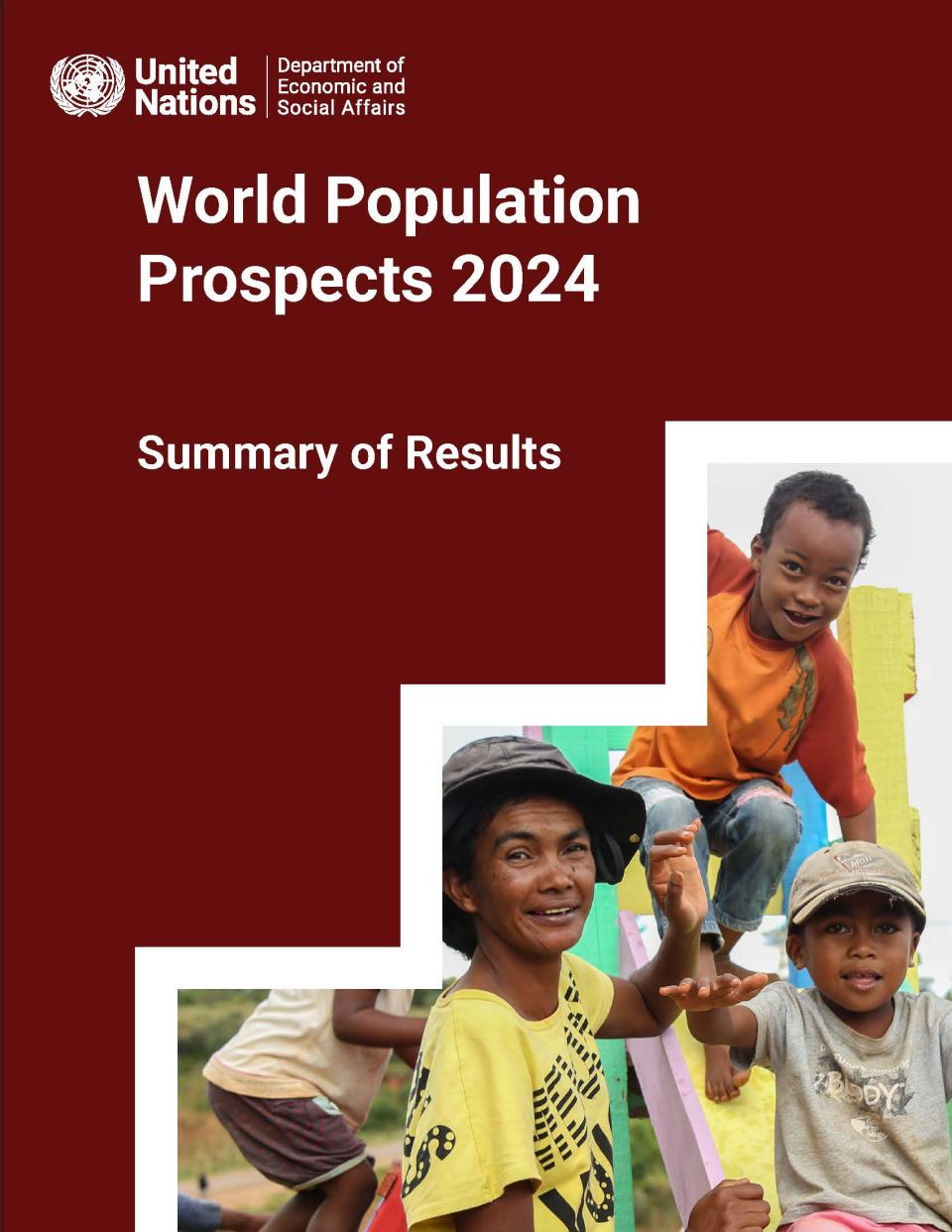
World Population Prospects 2024

Author(s): United Nations Department of Economic and Social Affairs (UNDESA), Population Division
Publication Details: United Nations Publication, 2024
The release of the World Population Prospects (WPP) 2024 report by UNDESA highlights several interesting facts. By taking into consideration a whole range of demographic evidence, the WPP 2024 has estimated
population trends on several important parameters for 237 countries and areas up to 2100. The report explicitly states that ‘population growth, population ageing, urbanisation and international migration’ are four main
pillars shaping the global demographic trend. Changes in the size, age structure and spatial distribution of populations bring both challenges and opportunities.
Ten key highlights of this report are:
-
The world’s population is likely to peak within the current century
-
The main driver of global population increase will be the momentum created by growth in the past
-
One in four people globally lives in a country whose population has already peaked in size
-
Countries with youthful populations and declining fertility have a limited time to benefit economically due to increasing concentration of population in the working ages
-
Women today bear, one child fewer, on average, than they did around 1990
-
By 2080, persons aged 65 or older will outnumber children under 18
-
Early childbearing has harmful effects on young mothers and their children
-
For some populations, immigration will be the main driver of future growth
-
Following the COVID-19 pandemic, global life expectancy is rising once again
-
Gender equality, women’s empowerment help to counter rapid population growth/decline
Read More: https://population.un.org/wpp/
Sustainable Development Report 2023: Implementing the SDG Stimulus

Author(s): Jeffrey D. Sachs, Guillaume Lafortune, Grayson Fuller and Eamon Drumm
Publication Details: Dublin University Press, 2023
At the midpoint of the 2030 Agenda, progress on the Sustainable Development Goals (SDGs) remains critically inadequate, exacerbated by the COVID-19 pandemic and other crises. While high-income countries utilised emergency measures to mitigate impacts, low-income and lower-middle-income countries faced deteriorating conditions, reversing progress on key goals. Despite these setbacks, achieving the SDGs is still possible through strategic investments and reforms in global financial architecture. This report emphasises the urgent need for increased funding, revised credit systems, and alignment of private investments with SDGs, urging all nations to reassess their strategies and commit to multilateral cooperation for sustainable development. There remains a great deal of work to be done to improve the data and methods underlying the SDG indicator framework.
Read More: https://s3.amazonaws.com/sustainabledevelopment.report/2023/sustainable-development- report-2023.pdf
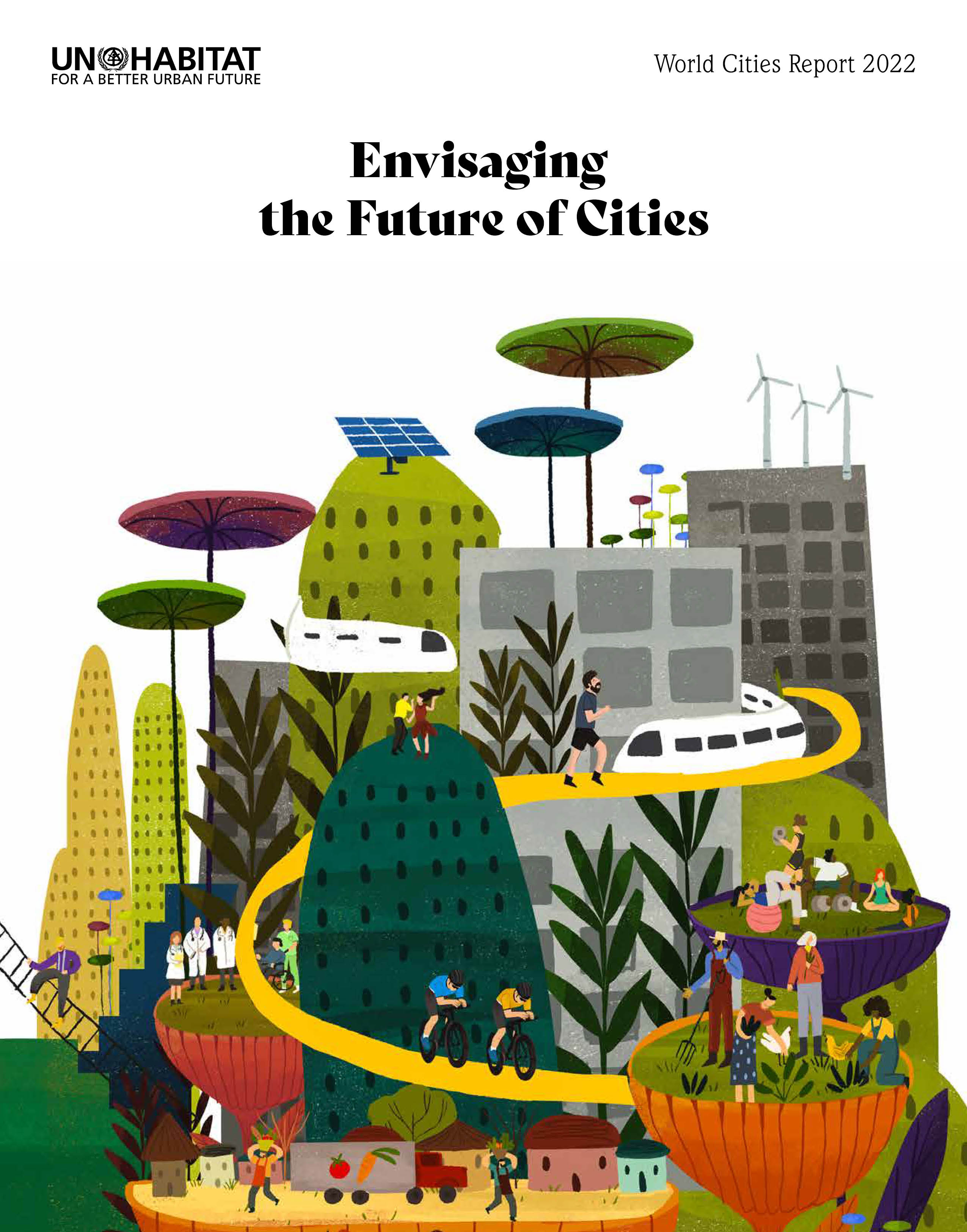
World Cities Report 2022: Envisaging the Future of Cities

Author(s): UN-Habitat, 2022
Publication Details: United Nations Human Settlements Programme (UN-Habitat), 2022
The report highlights the future of urban centres, focusing on resilience, sustainability, and inclusivity. As globalisation and technological advancements progress, cities will become key economic, social, and environmental hubs. The report discusses trends like smart city technologies, green infrastructure, and participatory governance. It cautions against maintaining the status quo, which could lead to economic and social issues, urging transformative policies for a brighter urban future. Key recommendations include adopting a new social contract with universal basic income, health coverage, and housing to enhance resilience. It stresses cross-sector collaboration to tackle climate change, urban inequality, and resource management. The report offers insights and policy advice to help create liveable, sustainable cities that can thrive amidst change and uncertainty.
Read More: https://unhabitat.org/sites/default/files/2022/06/wcr_2022.pdf
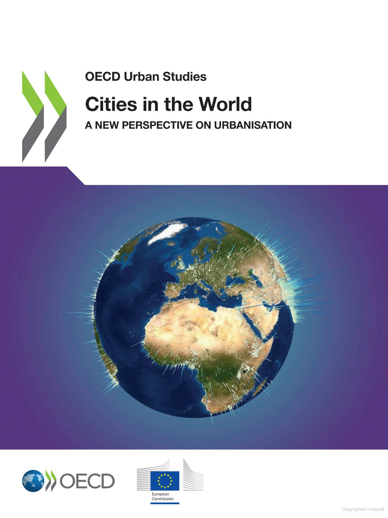
Cities in the World: A New Perspective on Urbanisation

Author(s): OECD and European Commission
Publication Details: OECD Urban Studies, OECD Publishing, Paris, 2020
The report introduces standardised definitions to enhance global comparisons and the monitoring of the UN’s Sustainable Development Goals (SDGs). It employs the Degree of Urbanisation and Functional Urban Area classifications to better understand urban trends, dividing areas into cities, towns and semi-dense areas, and rural areas. This approach offers a comprehensive view of settlements, with 48% of the population in cities, 24% in rural, and 28% in towns/semi-dense areas. The Functional Urban Area framework considers cities and their commuting zones, indicating metropolitan areas that house 54% of people, notably in high-income countries. While cities offer a better quality of life, they face challenges like crime and health issues. The report highlights population declines in medium-sized metropolitan areas of East Asia and Europe affecting public services. These definitions are vital for creating policies that address urban growth and decline, supporting sustainable urban development globally.
RESEARCH PAPERS
Does Food Insecurity Hinder Migration?: Experimental Evidence from the Indian Public Distribution System
Author(s): Travis Baseler Ambar Narayan ; Odyssia Ng, Sutirtha Sinha Roy
Publication Details: The World Bank, 2023
The paper explores how food insecurity influences migration decisions in the context of India’s “One Nation, One Ration Card” (ONORC) programme. The programme aims to provide nationwide portability for India’s Public Distribution System (PDS), a significant social safety net programme. However, despite this programme, many potential migrants remain concerned about accessing food in new locations through this programme, particularly in urban areas. A large-scale study covering 62,000 households across 18 Indian states reveals that information about ONORC portability, and potential barrier in using it in a new location, reduces the likelihood of migration to urban areas significantly. This suggests that while the programme aims to provide a safety net and encourage mobility, practical barriers, and a lack of awareness about how to navigate the system might be unintentionally discouraging migration.
Measuring Urbanization: Why India Needs to Re-think its Methodology
Author(s): Sudeshna Chatterjee, Raj Bhagat Palanichamy, Rejeet Mathews and Shahena Khan
Publication Details: WRI India Report, 2023
The blog discusses the need for India to reconsider its current methodology for defining and measuring ‘urban’ areas, which is presently based on criteria from Census 1961. With India’s socio-economic landscape evolving significantly and its cities driving economic growth, the current urban-rural classification risks leading to unplanned development and misallocation of resources. India’s current criteria—population size, density, and male non- agricultural workforce—classify only 31.2% of the country as urban, while alternative methods like the World Bank’s Agglomeration Index suggest the figure could be much higher. The United Nations’s DEGURBA (Degree of Urbanisation) method, endorsed in 2020, provides a global standard by using satellite imagery to classify areas into seven sub-categories based on population density and built-up area. This approach offers a more nuanced understanding of settlements, but it also has limitations, such as low urban density thresholds and reliance on machine learning. As India prepares for its next census, exploring methods like DEGURBA could lead to a more accurate representation of its urbanization dynamics.
Read More: https://wri-india.org/blog/measuring-urbanization-why-india-needs-re-think-its-methodology
Measuring Sustainable Development Goals in Cities, Towns and Rural Areas: The New Degree of Urbanisation
Author(s): Lewis Dijkstraa, Aleksandra Galicb and Teodora Brandmüllerb
Publication Details: Statistical Journal of the IAOS, 2022
The paper “Measuring Sustainable Development Goals in Cities, Towns, and Rural Areas: The New Degree of Urbanisation” introduces a harmonised method to compare urban and rural populations globally. The authors analyse that the national definitions of urban and rural areas, which vary significantly across countries, make international comparisons challenging. To address this, the UN Statistical Commission in 2020 endorsed a harmonised definition called the Degree of Urbanisation, which classifies cities, towns, and rural areas using population density and size thresholds, based on a global population grid. This method provides a more consistent way to assess urbanisation, ensuring comparability across countries. The paper demonstrates that in many African and Asian countries, national definitions show higher rural populations compared to the harmonised definition, while in Europe and the Americas, national and harmonised definitions are more aligned. The authors argue that this new approach is essential for accurately measuring Sustainable Development Goals indicators, particularly for urban and rural areas, allowing for better international comparisons.
Measuring Dhaka’s Urban Transformation Using Nighttime Light Data
Author(s): Md. Manjur Morshed, Tanmoy Chakraborty and Tanmoy Mazumder
Publication Details: Journal of Geovisualization and Spatial Analysis,2022
Cities are being reshaped due to globalisation, information exchange, and changing economic processes. Global cities are turning into command and control centres for smaller production hubs, causing large metropolitan areas to shift from being centred around one core to having multiple centres. This paper focuses on analysing the urban transformation of the Dhaka region in Bangladesh. The study used remote sensing techniques and night-time light data to estimate urban areas at two periods: 2012 to 2017 and 2017 to 2022. In addition to visual analysis, the extracted urban areas were validated using random sample points. Urban transformation was assessed through hotspot analysis and the differentiation index for urban expansion. The findings show that Dhaka continues to grow due to ongoing population increase and its proximity to industrial centres. Additionally, most of the physical expansion of the Dhaka region happens along major highways, indicating a decentralisation of industrial clusters within the region.
Read More: https://doi.org/10.1007/s41651-022-00120-2
Quantifying Spatiotemporal Patterns of Shrinking Cities in Urbanizing China: A Novel Approach Based on Time-series Nighttime Light Data
Author(s):Yang Yang, Jianguo Wu, Ying Wang, Qingxu Huang, Chunyang He
Publication Details: Cities, 2021
The shrinking of cities has become a growing issue worldwide, creating challenges for sustainable urban development. However, most of the attention has been on Europe and North America, with little focus on East Asia, particularly urbanising China. The Night-time Light (NL) dataset, which is free to access over a long period and covers large areas, offers a new way to measure shrinking cities. In this study, a new method was developed to identify shrinking cities and measure urban decline, using corrected and combined DMPS/OLS (Defense Meteorological Satellite Program (DMPS)/Operational Linescan System (OLS) and NPP/VIIRS NL data (Suomi National Polar-orbiting Partnership/Visible Infrared Imaging Radiometer Suite (NPP/VIIRS). Using this approach, the researchers have analysed the shrinking cities in China from 1992 to 2019. They found that 153 cities had shrunk during this time, representing 23.39% of all 654 cities in the country. The number of shrinking cities varied over time, peaking after the Asian Financial Crisis in 1997 and again after the Global Economic Crisis in 2008. The most severe shrinkage occurred in northeast China, particularly between 2008 and 2013. This new method has successfully identified the key areas and periods of urban shrinkage. The findings highlight the need for China’s sustainable urban development to consider shrinking cities, which face unique and urgent challenges, different from those of rapidly growing cities.\
Read More: https://doi.org/10.1016/j.cities.2021.103346
Unveiling 25 Years of Planetary Urbanization with Remote Sensing: Perspectives from the Global Human Settlement Layer
Author(s): Michele Melchiorri, Aneta J. Florczyk, Sergio Freire, Marcello Schiavina, Martino Pesaresi and Thomas Kemper
Publication Details: Remote Sensing, 2018
The paper analyses the global urbanisation process between 1990 and 2015 using data from the Global Human Settlement Layer (GHSL). By leveraging advances in remote sensing and machine learning, the GHSL provides high-resolution, multi-temporal datasets on built-up areas and population distribution, enabling a comprehensive analysis of urban expansion and demographic shifts. This study highlights regional disparities, with rapid urbanisation observed in Asia, Africa, and Latin America, particularly in low-income countries. Urban areas have grown significantly, both in population and spatial footprint, with urban centers accounting for most of this growth. The paper emphasises the value of GHSL data for global policy commitments, such as the Sustainable Development Goals (SDGs), by offering detailed insights into urban development patterns. This research contributes to urbanisation theory and supports the formulation of strategies for sustainable urban planning and monitoring of global development indicators.
Read More: https://doi.org/10.3390/rs10050768
Analysis of Urban Growth and Estimating Population Density using Satellite Images of Nighttime Lights and Land-use and Population Data
Author(s): Hasi Bagan; Yoshiki Yamagata
Publication Details: GIScience & Remote Sensing, 2015
The paper investigates urban expansion and population density estimation in Japan during 1990 - 2006. The authors have utilised gridded land-use data, population census data, and Defence Meteorological Satellite Program (DMSP) nighttime lights imagery to examine the spatial relationship between population density and urban land use. Their analysis demonstrates a strong correlation between built-up areas and population density, with rapid urban expansion observed in megacities. Rural areas, by contrast, showed steep population declines. The study highlights the potential of integrating remote sensing data with urban planning, suggesting that nighttime light data, combined with land-use information, can effectively model population growth and guide future urban development strategies. The findings are particularly relevant for areas lacking reliable ground-based statistics and could support urban planning and policy-making at local, regional, and national levels.
Read More: https://www.tandfonline.com/doi/full/10.1080/15481603.2015.1072400


